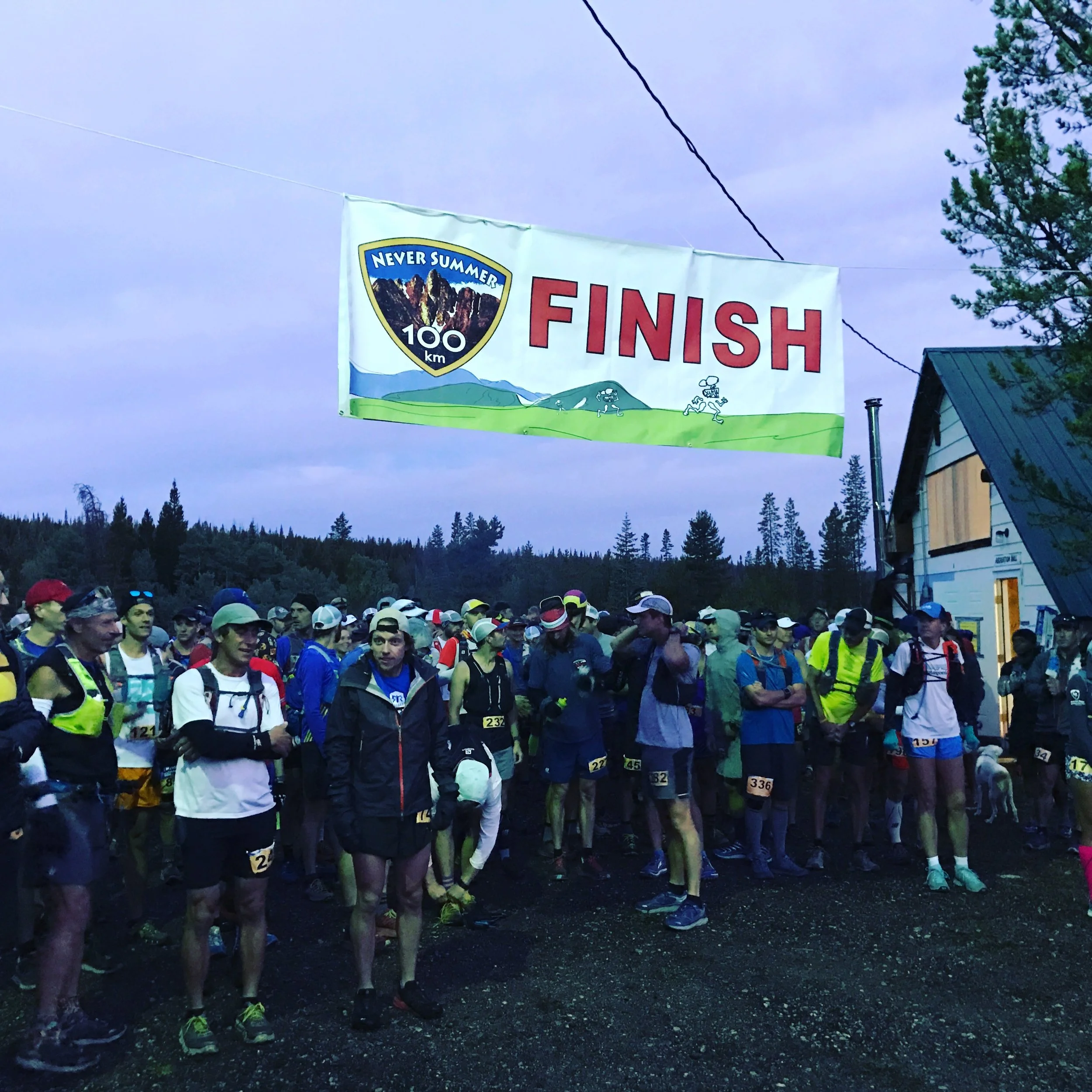

CSAW 2018 – Breckenridge, CO

CSAW 2018 almost ready to kick off!
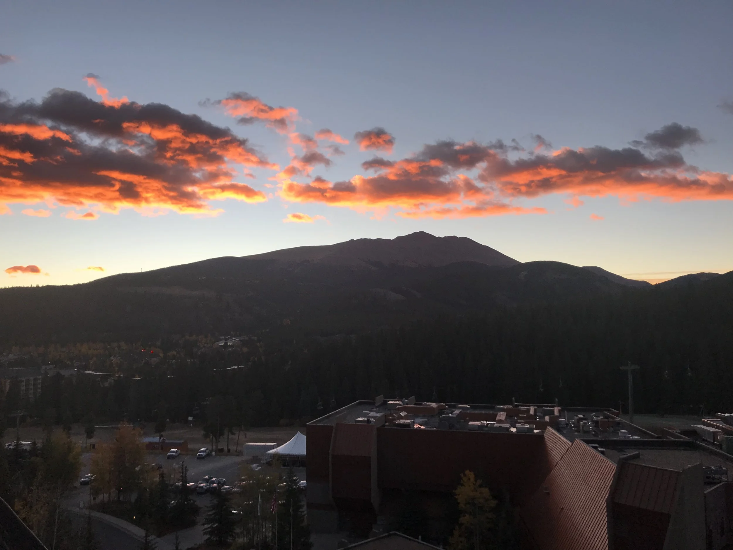
The day started as it often does for CSAW, crisp and beautiful, with the pinks and blues cheering us on to grab coffee and get to the Riverwalk center on time.
The event continues to grow as the auditorium was packed, reminding me of the days at Copper Mountain and Leadville over the past decade with hardly 100 in attendance! Lots of vendors and sponsors made for lively intermissions, along with the donuts!

I was stoked to meet Caleb Merrill, host of the fantastic podcast The Avalanche Hour. I’ve been listening for the past two seasons to this interview-style podcast, almost always jotting down a note or two from the conversation with avalanche legends, athletes or educators that I want to remember for my next class or trip out. I highly recommend tuning in at theavalanchehour.com!
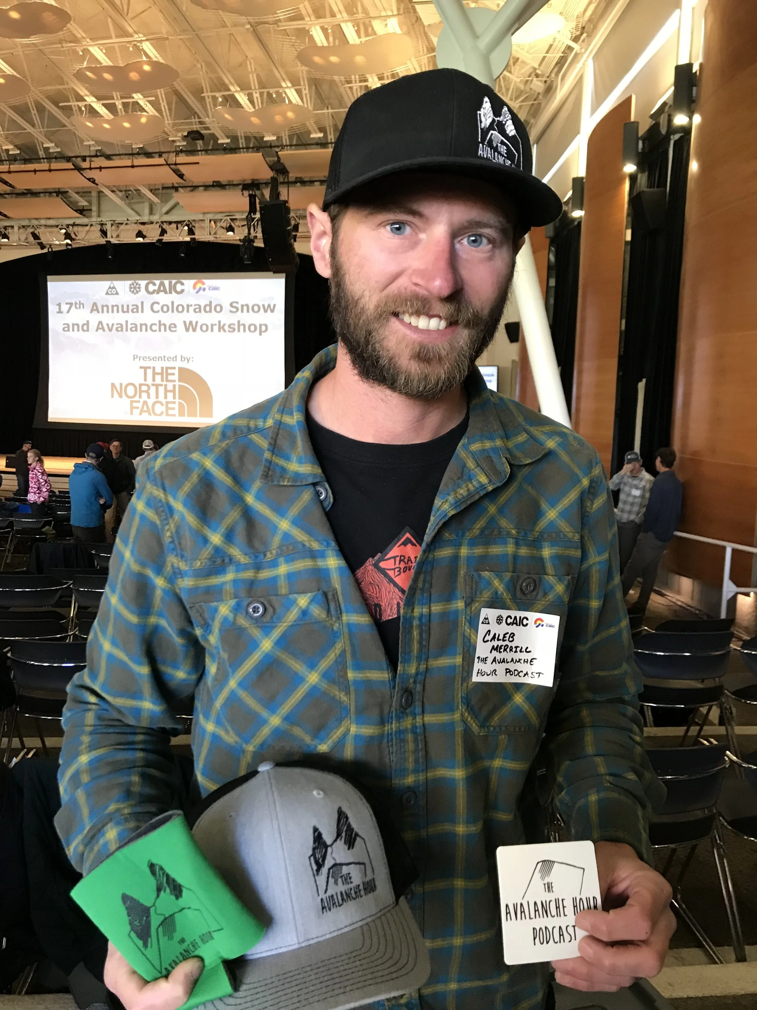
Caleb proudly showing off his swag for CSAW 2018 - don’t forget to tune in!
Session Recaps
Ray Mumford – Long-time CDOT forecaster
History of CDOT Avalanche Program
Harkening back to the days of wagon trails beginning to cross the Rockies (and swearing he wasn’t alive then), Ray covered the history of roads and railroads being built and the agencies learning to clear them for winter travelers. He shared funny stories of the progression from miners to truckers to recreationists using the high-country roads to access snow-laden passes for many reasons. He covered some large notable events in the 1940’s and 50’s that eventually precipitated a change in CDOT’s avalanche strategy, culminating in a 1992 accident that instigated a partnership with the Colorado Avalanche Information Center (CAIC) to forecast avalanche conditions for the roads and allow CDOT to build a strong program to mitigate the risk for travelers. Along the way Ray shared phenomenal pictures and videos that he’s collected over the years, including rare footage from a Disney Studios videographer who in 1957, along with CDOT staff, took video of a large avalanche coming towards them and eventually engulfing them and killing them as they calmly stood in a spot they were assured had no chance of being hit by the avalanche.
Ray also shared the history of the tools CDOT has used to control avalanches above roads, including large artillery like this 106mm recoilless howitzer. All of the different artillery devices highlight the strong partnership between the military and state highway departments across the west.

106mm Recoilless Rifle being shot - the fire out the back of the rifle was used to avoid recoil which meant it could be mounted on a truck and become portable. They also shared it’s ability to destroy front windshields so they started laying a mattress on the windshield to avoid driving back with shattered glass!
Ray also touched on hand charges, recent Gasex installations, and snowsheds as alternate tools used by CDOT to prevent risk to the traveling public.
As many in the audience remembered, an accident in 2014 with an Avalauncher device at Loveland Pass propelled CDOT to protect workers more when using these devices as well as set a goal to limit the use of them in the future.
He proved his point about the effectiveness of the avalanche program through a simple statistic: before 1992 (when CDOT and CAIC began their partnership) dozens of travelers died on Colorado’s winter roads while since 1992 not a single one has. He finished up by dedicating the talk to the 5 State workers who have died on this dangerous job over the past century.

CDOT avalanche worker holding artillery
Jamie Yount – Porgram manager for CDOT avalanche control
The future of avalanche mitigation for CDOT
Launching off from where Ray’s talk left off, Jamie covered CDOT’s goals moving forward, which are pretty simple - keep the public and staff safe with cost-effective control measures.
These numbers were surprising to me:
75 CDOT staff doing active mitigation
12 Howitzers owned by CDOT, with 20 years worth of ammunition stored
318 avalanche paths that cross roads in Colorado
180 paths between 5 mountain passes
For safety reasons, they are limiting Avalauncher use significantly moving forward, which has led to major projects at the Seven Sisters on Loveland Pass and the Stanley Path on Berthoud Pass with Remote Activated Control Systems (RACS). These have generally utilized stationary Gazex units installed on the mountain that ignite propane and oxygen for an air blast in the start zone. These projects have already eliminated the need for over 100 howitzer charges per year on Berthoud Pass, a good thing for everyone involved, including recreationists as un-exploded ordinances (artillery charges that didn’t detonate), although rare, can pose a serious risk to hikers in the summertime.

Recent Gasex unit and control system installed in Colorado
Other RACS moving forward will be Obellx units (the little brother to the Gazex), Avalanche Guards (multiple artillery-style charges at a stationary unit) and Wyssen Towers (which lower charges into the start zone on a cable tether). These all have pros and cons for cost, installation impacts, and ongoing maintenance, which he had charted out along with snowsheds and helicopter use. The cost scale went from “expensive” to “very-very-expensive” highlighted that none of this comes cheaply.
He shared plans for finalizing installations on the priority Northern passes and implementing plans for installations on the Southern passes. Monarch, Lizard Head and Wolf Creek Passes will all see significant projects in the next few years with different RACS. Notably, he mentioned that Red Mountain Pass is so large with so many suspect avalanche paths that it’s not being tackled yet with RACS.
When asked about climate change impacts in the future, he mentioned that all of the RACS they are putting in place are better than artillery as they use air blasts, which are more effective for moist and wet snow, which is what we’re likely to see more of moving forward.
Colin Mitchell
Pimenton Mine – Risk Management and Forecasting in the mining industry

Pimenton Mine valley in Chile, situated below, or in, many avalanche paths.
Colin has been an on-site avalanche forecaster for the Pimenton Mine in Chile, and gave a very unique talk about the challenges and successes the avalanche program has seen over the past years. This gold mine is situated between 11,000 and 13,000 feet in the Andes and is a self-contained operation where everyone works and lives at the mine, run 24 hours per day.
Since the mine was built in a high mountain valley with the goal of efficiently extracting ore (and not avoiding avalanches) almost all roads, buildings, and staff quarters are within the range of avalanches. Some of the avalanche paths can release over 20 times per year onto the roads used to access the mine portals.

Warning Sign for staff at Pimenton Mine
In previous year, they reduced risk previously by shutting down operations during the high danger, following up with mitigation and then opening the mine. However, as gold markets have become tighter (the mine owner actually filed for bankruptcy in 2017), a few days of closure has significant impact to the financials for the mine.
They have worked to maximize operational gains while incurring the minimal amount of risk and developed a portfolio of tools. Many of the tunnels within the mountain are connected, so they can now close hazardous roads and divert workers to portals that are safer, decreasing exposure to the hazard. They purchased snowcats to ferry staff to and from the mine portals to limit vulnerability to smaller avalanches. Interestingly, they also have begun “interval firing” of the Avalauncher at larger paths that pose a risk to the staff quarters and infrastructure. This means they fire several times during larger storms to reduce the size of the avalanches that can possibly come down, since some storms can total ten feet!
Brandon Levy
Operational Forecasting for Rain on Snow
As a newer CAIC forecaster, Brandon was curious about two rain-on-snow events in Colorado they reminded him of Washington passes where he has worked previously. One of the events was the fatal avalanche accident at Aspen Highlands in closed terrain last spring, where rain-on-snow likely precipitated the instability. As these types of events are the rarity in Colorado, they frequent areas like Stevens Pass.

A funny comparison of the two snowpacks that Brandon works in
One path at Stevens Pass, Old Faithful, sits above the highway where there is normally stop-and-go traffic during weekend powder days. This essentially gives 100% probability of an avalanche hitting a traveling vehicle if it occurs, so they have spent many years perfecting how to avoid this event. They have tried many different methods, including large amounts of explosives to effectively remove all snow from the starting zone. One event in 2014 used over 5,500 pounds of ANFO over 22 days from mid-February to early March. Alternatively, WASDOT has also tested smaller charges before the rains start to proactively lessen the future loading in the start zones with success. He was promoting this as an option for control programs as a way to get ahead of the danger and be efficient with their resources.
Paul Schlatter – NWS SOO (Science and Operations Officer) in Boulder
New Tools for Weather Forecasting in Colorado
Brian Lazar rattled off a long list of degrees and accolades for Paul, proving the point that he was a smart guy. This was easy for the audience to agree with once Paul launched into the new tools the National Weather Service has and the ways that we can get access to the information as well.
He covered 2 new GOES satellites that sit 22,000 miles above the early and give much better resolution, at much higher frequency intervals and allow them to see the difference between things like fire and dust or clouds and snow. They will be helpful for tracking wildfire occurrence and sizes, where lightning occurred, and when dust from the Great Sand Dunes might be drifting across to Eastern Colorado and the plains states.

Satellite imagery where dust storm (originating from Great Sand Dunes) is being carried across Colorado. Dust is yellow while clouds are white. Previous imagery would not have been able to distinguish these.
For snow, he showed how the imagery can separate low-clouds, rain and snow into different colors and give forecasters much clearer view of what’s happening and where.

GOES satellite imagery showing the difference between snow (white), lower clouds holding water (yellow) and higher ice-laden clouds (magenta). Previously these would have blended together in the imagery.
In addition, he shared the new forecasting models that they are using which allow them more flexibility to share not only what is most likely to happen, but how big (or small) the storm might be as well. Instead of just assuming 10% moisture content in winter precipitation, the model uses temperature and snow to liquid ratio to more accurately estimate whether it might be a 7% or 15% snow, which can make a large difference in snow totals as well as what kind of snow we might be getting.
He graciously gave links to these sites as well for us to peruse:
Colorado Snowfall Probability Map
Jimmy Fowler
Return of the Ridiculously Resilient Ridge: A look at last season’s snowfall, seasonal forecasts and the outlook for the upcoming winter
Jimmy covered the potential return of the atmospheric ridge that was partly responsible for the lack of snowfall last season, especially in southern Colorado, which pushed storms on a more northerly track.

Two potential years snowpacks based on historical years, although we’re trending towards looking like a “Modoki” winter with lower snowpack.
He recapped ENSO for the audience and highlighted that although it isn’t the only oscillation that’s available to forecasters, it’s used so widely because it can be forecasted so much further in advance of others. The last two winters have been La Nina winters, although only one of them developed the atmospheric ridge that shadowed parts of Colorado.
The current ENSO forecast is neutral now, trending towards El Nino with a 65-70% chance of El Nino this winter. This is mostly likely to be an El Nino Modoki event, which is “similar but different” than normal El Nino events in that they tend to be more mild or moderate. This might allow a similar ridge to set up off the West Coast, which could mean a similar weather pattern to last year.
Southern Mountains – he pointed towards models that show decent snowfall early to mid-season with a drier late seaons ending with below-average snowpack in the spring.
Northern Mountains – he nodded to near average snow totals and snowpack for most of the year, with a chance for higher than average early season.
Maybe Bozeman and the Tetons are setting up for another montster season?? I should be getting my RV ready now!
Panel: What a Difference a Day Makes: Events that Influenced the Careers of Veteran Avalanche Workers
This panel discussion gave some great insights into seasoned avalanche veterans’ careers and some events that shaped them.
Debbie Kelly focused on distractions. As a long time ski guide in Aspen, she share stories from cat ski guiding and recreationists where skiers were distracted from seeing (or accepting) the signs of instability and did things like ignored warnings or left their equipment at the hut. She stressed staying vigilant at all times and asking yourself “what is distracting me and what is that not allowing me to see?”
Kevin Ahern, long-time Ski Patrol Director for Breckenridge, shared the “avalanche hear round the world,” an out of bounds accident in 1987. This large accident took the lives of four skiers, the remains of which took three days to recover. He realized the importance of inter-agency planning and collaboration, awareness for the public and the proper gear and training for all staff.
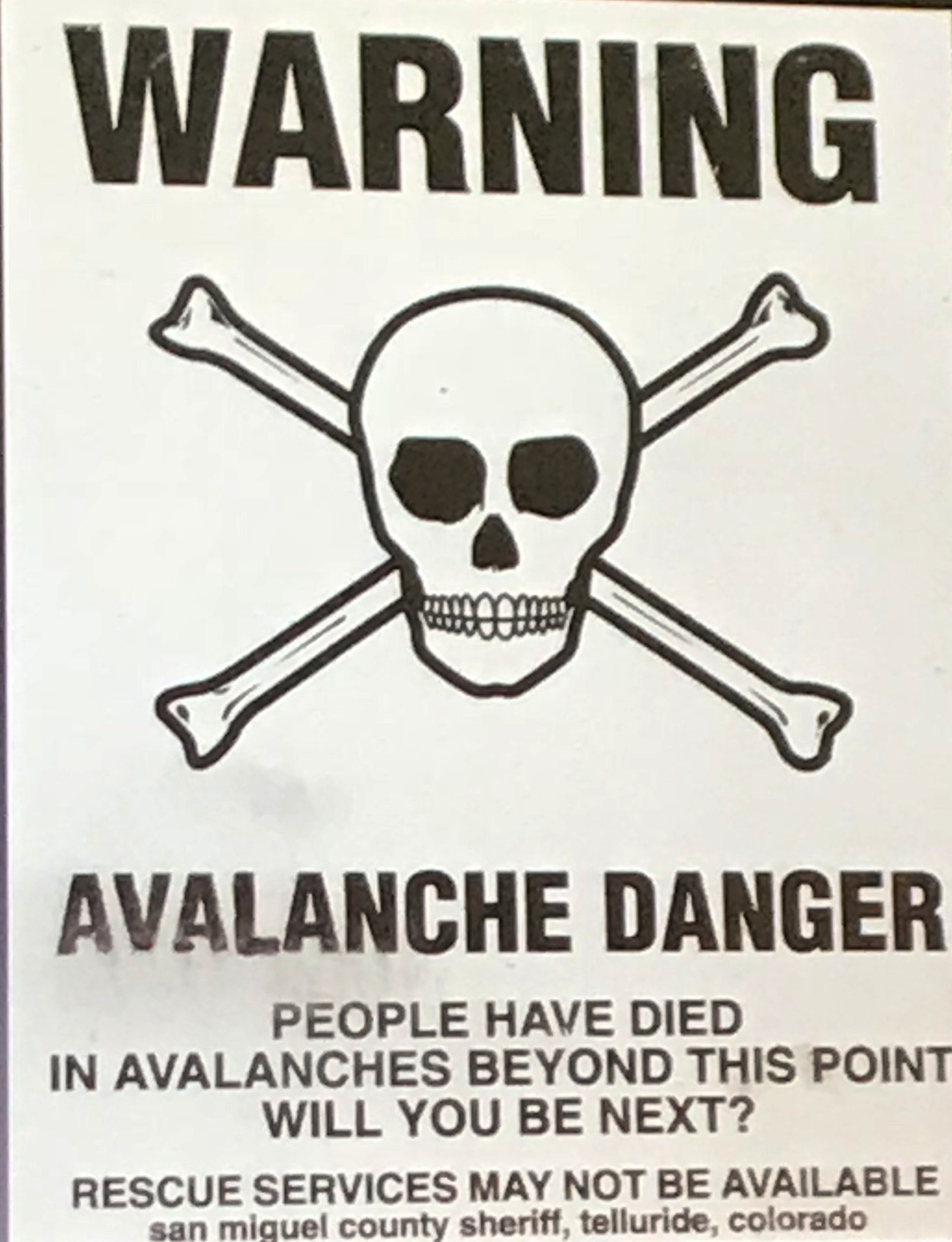
Sturbie provided this as an example between teaching abstinence from backcountry (skull and crossbones) and educating people on where to go safely and understand their risk.
Craig Sterbenz, retired from Telluride Ski Patrol now, covered a number of career altering events, including his first day at Telluride in 1975 where he was caught in an avalanche along with his new boss in open ski terrain. Another included a large cycle in 1995 that dropped six feet of snow, the resulting control work destroyed 200 year old trees! Sturbie was proud to share that his avalanche planning report from the 1980’s, which was not taken seriously at first, has proved to set to set the correct course for Telluride’s large expansion and keep the public safe.
Denny Hogan covered working through his first real San Juan’er (big storm) on Red Mountain Pass in 1995. He recalled watching the storm grow, closing pass after pass until they were all shut down. He then recognized the severity of winter storms and destructive force of the resulting avalanches.
Cameron Wobus
Climate Change Impacts on Ski Seasons in the Mountain West
Cameron used the best climate models to show that there is a higher likelihood of most western ski areas losing ski days in the coming decades, which significant loss of days by the end of the century. He stressed that although there are things we don’t know about the future, there are concrete facts that we do know now, such as trends towards higher temperatures, climbing levels of CO2 in the atmosphere, and the fact that snow melts at 32 degrees. These all point to the idea that we are trending towards less snow.

Geeking out on modeling approaches to future climate changes and what they could mean for the number of ski days per year.
Colorado appears to be best-situated to weather the changes, while parts of California and the East could have their seasons essentially eliminated under models that don’t include any climate mitigation. He stressed that for the sake of skiing, and for the sake of the winter recreational economy, it was worth the investment to attempt to slow down climate change moving forward.
Luke Ochs
Forecasting for Wind Slab Avalanches in the Ten Mile Range
Luke walked through the ways that Breckenridge forecasts and controls wind slabs, including daily weather data and forecasts that go to all patrollers emails each morning. Their threshold values are when there is more than 24 hours of wind at 20+ mph from a consistent direction.
Mark Staples – Director of the Utah Avalanche Center
Where's your partner?
Mark gave the final talk of the day, which had a great take-home message: we need to understand better whether our travel techniques are making us “essentially alone” in the backcountry which may be resulting in more fatalities.
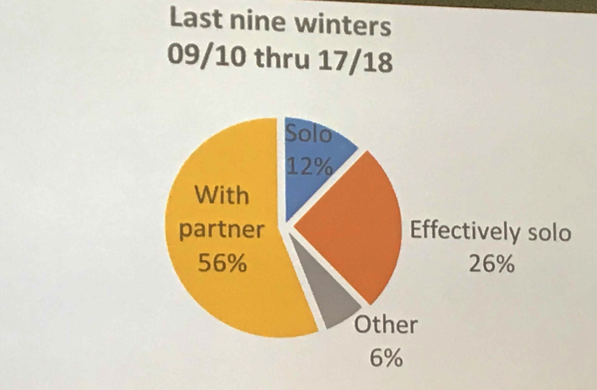
Mark’s graph of the whether partners are alone or not in the backcountry
Fatal accident data shows that while many fatalities happen where partners can and do conduct a rescue, many fatalities have happened when victims were alone or separate from their group in such a way that it delayed or limited the potential rescue. In fact, the data shows that almost half of fatalities occurred where the victim was alone or “essentially alone” where many were shallow burials that had a high chance of rescue if partners were close by. There are three ways to effectively be alone:
Partner is out of sight
Partner too far away
Partner caught too
He shared his technique for using military analogies for motorized groups, where teams always cover for each other, staying ready and watching their partners. This seems like a good way to relate staying together as a team, especially with groups that tend to get more spread out like snowmobilers and snow-bikers, which cover drastically larger ranges in a single day.
His final quote from a mentor was that the “basic never change” – that reminded me of what we say to students all the time, backcountry rescue equipment is no good without a partner to use it.
Take aways
I walked away with a over-full brain from CSAW 2018 like all years. I think there’s lots for folks from each arm of the industry to take away, but I took away these ideas:
Technology is improving faster than it’s easy to keep up with. As someone focused on risk management, it’s our duty to keep up with the industry, available tools and resources. I’ve got some catching up to do with weather info!
Don’t forget the basics. Whether it’s by distraction, not having a partner, or being sucked in by big days, focus on the basic ways we have kept ourselves safe for years.
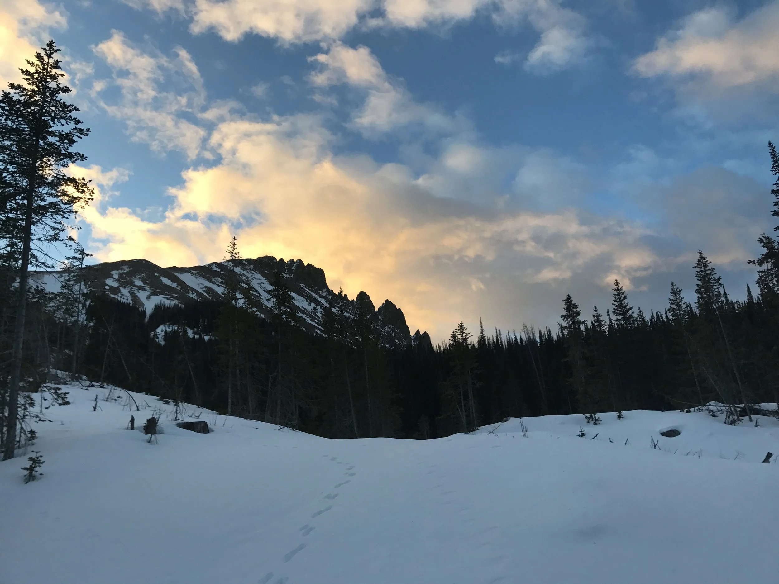
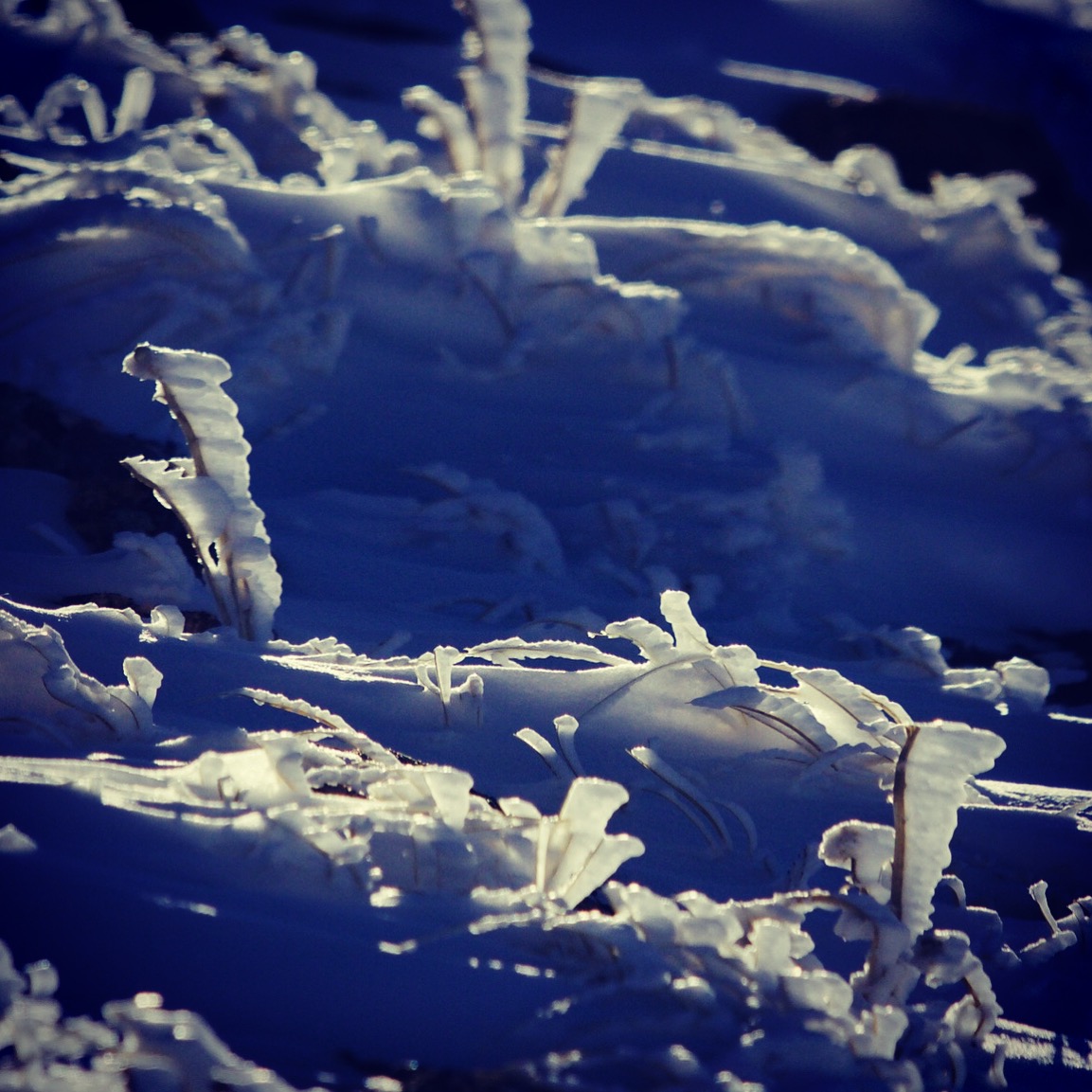
The drive back north to Steamboat was wet and snowy over Rabbit Ears, what a great way to end a day at a Snow and Avalanche Workshop!!

Snow over Rabbit Ears to cap off a great CSAW 2018
Til next year!